A Unique Atlas of the Landscape of the Czech Republic Now in Print
3 December 2010
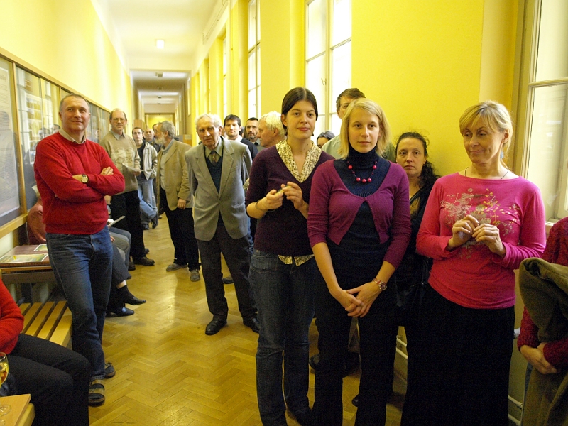
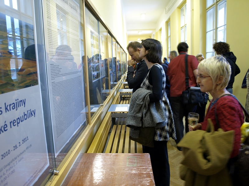
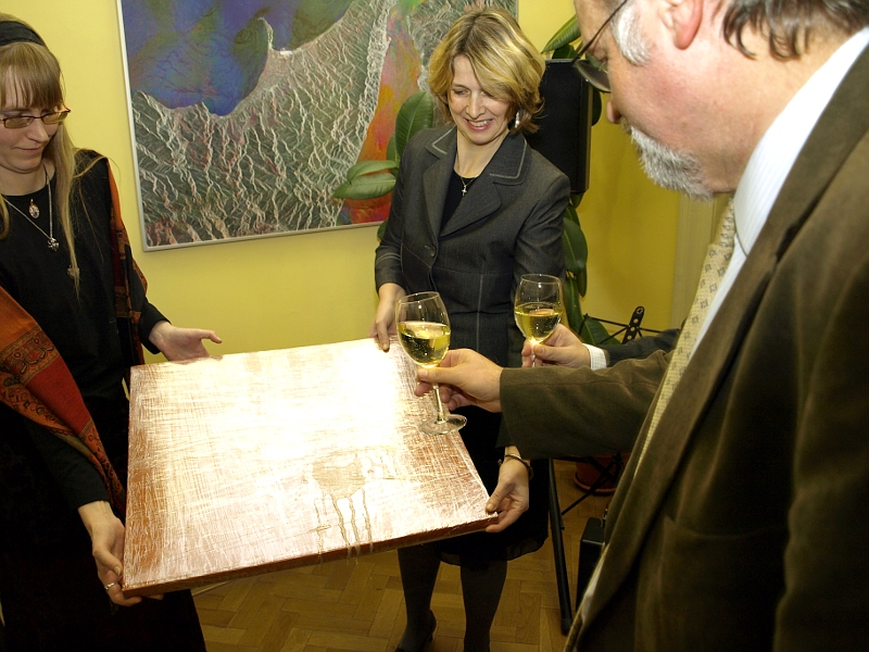
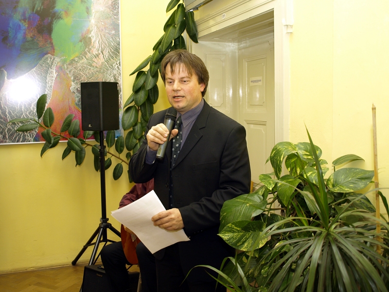
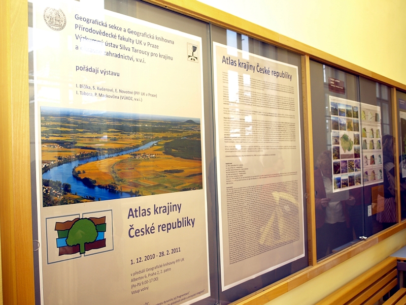
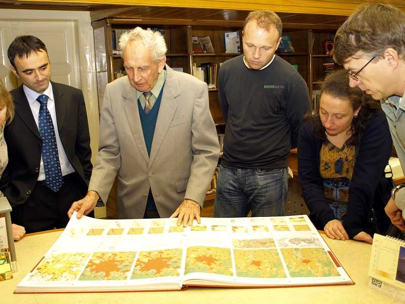
The outstanding work contains 906 maps and 767 pieces of additional material, comprising the largest amount of data ever gathered in a single atlas of the Czech Republic. The atlas is now in print and was introduced to the public at a release event on November 30, 2010 in the foyer of the Geography Library of the Charles University Faculty of Science.
|
|
|

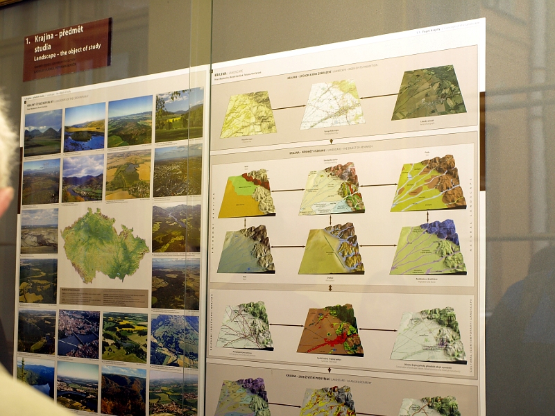
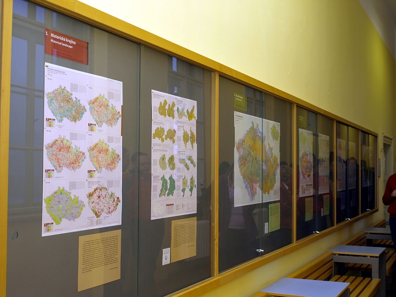
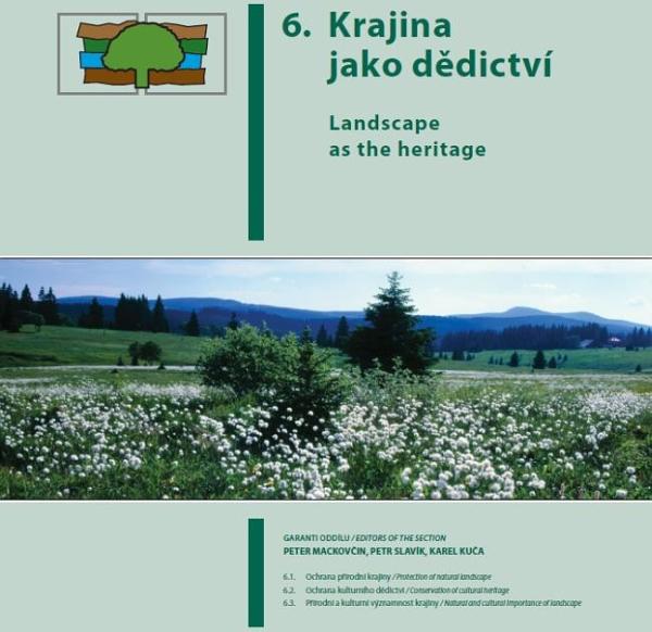
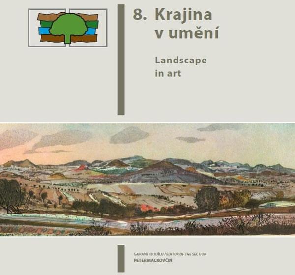
The new monumental atlas introduces, documents and examines the Czech landscape in eight chapters: Landscape as a research subject, Geographical position, Historical landscape, Natural landscape, Contemporary landscape, Landscape as heritage, Landscape as an Environment for the Society and Landscape in art. The atlas is aimed as both experts and the general public. In both its visual and text sections, it offers a detailed look at the contemporary state, the history and the future of the Czech landscape, its elements and the life of the people who inhabit it. Maps include those of natural reservations, of the Czechoslovak defense fortification system of 1935-1939 as a specific artifact in the landscape, of historic monuments destroyed between 1938 and 2007, containing up to 2,000 buildings in city centres, monasteries, churches, synagogues etc. It also details the earthquake of January 15, 1858, the recent destructive floods and the state of the Czech industry.
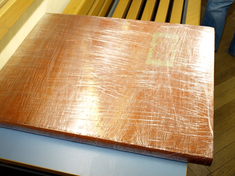
The atlas was seven years in the making by a team of 470 people of various professions, 356 of which were the authors, coming from 133 different institutions. The atlas measures 1 meter by 60 cm at 332 pages and weighs 10 kg. 50 tons of paper and half a ton of DVD discs were used for its production. It is being published in two versions: the print version (sold as hardcover and also as single sheets) and the electronic version. The print version is so exclusive that even Charles University, one of the key partners of the project, only secured one copy, accessible at the Library of Geography of the Faculty of Science. The print version costs 5,000 CZK, whereas the DVD version only 500 CZK.
The competition for the project of the Atlas of the Landscape of the Czech Republic was opened in 2003 by the Ministry of Environment, which also funded the project through its grant agency. The research for the project was conducted under the Science and Research project (AK ČR: Sk/600/01/03). Overall costs of the project surpassed 50 million CZK.
(Marie Kohoutová)
Translation: Jaroslav Švelch